


MONUMENT LAND SUVEYING SERVICES
Serving Mesa County Colorado & the surrounding areas
Our Mission
At Monument Land Surveying Services, we believe that every successful project begins with accurate, dependable survey data. From initial research and reconnaissance to the final plat in your hands, our mission is to deliver high quality services that you can trust and timelines you can count on.
When taking on a land surveying project, we understand that every day matters. That’s why we combine advanced technology, professionalism, and meticulous attention to detail to ensure our work is not only exact, but also delivered on schedule. We approach each project with integrity, clear communication, and a commitment to excellence.
Our Services
-
Buying or selling a home? Your lender or title company will likely require an ILC before closing. We prepare ILCs efficiently and accurately, showing the location of your structures in relation to your property lines and identifying any visible encroachments or easements.
Note: An ILC is not a boundary survey and does not establish property corners. Contact us to find out which service is right for you.
-
Need to know exactly where your property boundaries are? A Land Survey Plat is the definitive way to establish your property's true boundaries. We research existing records, locate or set property corners, and produce a legally binding plat that can be recorded with the county.
Contact us today to discuss your project and get a quote.
-
Involved in a commercial real estate transaction? An ALTA/NSPS Land Title Survey is the highest standard of survey document available, meeting the strict national requirements set by lenders, title companies, and attorneys.
We produce a comprehensive document that combines boundary, improvement, and easement information into one detailed, nationally recognized report — giving all parties the confidence they need to close.
ALTA Surveys require close coordination with your title company and lender. Contact us early in your transaction to ensure your timeline stays on track.
-
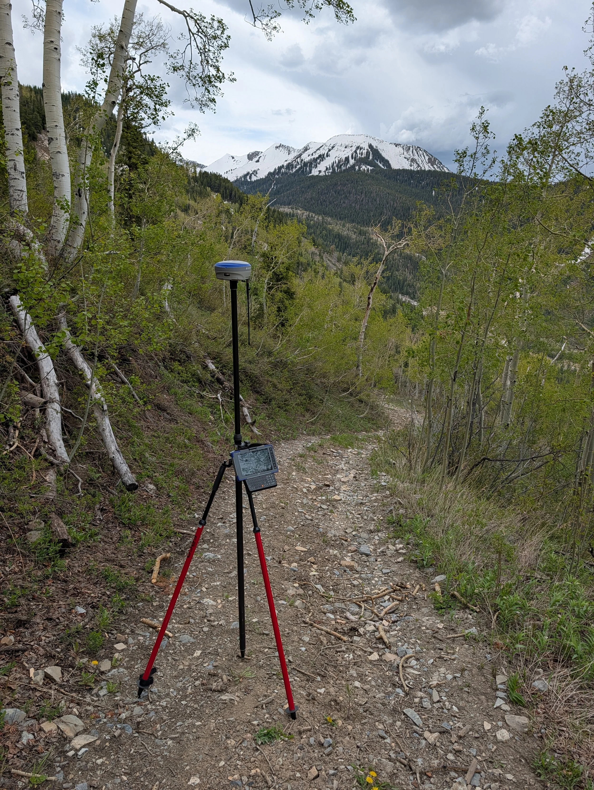
Planning a construction project or land development? A Topographic Survey maps the natural and man-made features of your property — including elevation changes, trees, utilities, and existing structures — giving your engineer or architect the critical information they need to design with confidence.
We collect precise field measurements and deliver a detailed map that serves as the foundation for any successful site design or development project.
Contact us early in your project — a topographic survey is one of the first steps in the design process.
-
Ready to break ground? A Construction Stake-Out translates your engineered plans into physical markers on the ground, giving your contractors the precise reference points they need to build in the right location — the first time.
We work directly from your approved construction plans to stake out foundations, utilities, roads, and other improvements with accuracy you and your contractors can count on.
Proper staking before construction begins can save significant time and money. Contact us to schedule your stake-out.

Sawyer D. Callahan, PLS
Sawyer Callahan is a registered Professional Land Surveyor with over 10 years’ experience working on residential, commercial, and government projects.
After earning a B.S. in Surveying and Geomatic Engineering, Sawyer moved to Colorado where he enjoys climbing, skiing, and spending time with his family.
Contact Us
If you're interested in working with us, complete the form with a few details about your project. We'll review your message and get back to you as soon as possible.
Phone: 360 509 7682
Email: monumentlandsurvey@gmail.com